Product successfully added to your shopping cart
There are 0 items in your cart. There is 1 item in your cart.
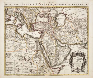
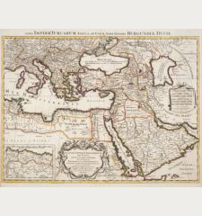
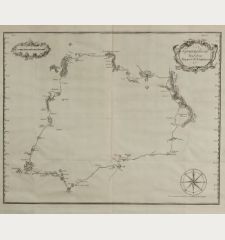
Carte de la Turquie de l'Arabie et de la Perse / Tabula Nova Imperii Turcarum, Arabum...
Guillaume de l'Isle (*1675 - †1726)Reference 12452
Description
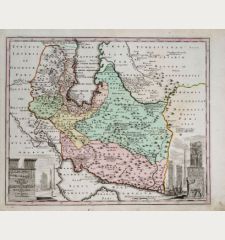
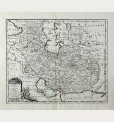
Old coloured map of the Turkish Empire, Arabia and Persia after Guillaume de l'Isle. This is the Covens & Mortier edition of the detailed map by G. de l'Isle. With the eastern Mediterranean, the Red Sea and the Persian Gulf. To the left the northeastern part of Africa with Egypt, Libya, Ethiopia and Somalia. With Turkey, the Arabian Peninsula, Iran and Pakistan. In the north the Mediterranean Sea, the Black Sea and the Caspian Seas. To the lower right a beautiful title cartouche.
Details
| Cartographer | Guillaume de l'Isle |
| Title | Carte de la Turquie de l'Arabie et de la Perse / Tabula Nova Imperii Turcarum, Arabum et Persarum |
| Publisher, Year | Covens & Mortier, Amsterdam, circa 1730 |
| Plate Size | 48.0 x 56.2 cm (18.9 x 22.1 inches) |
| Sheet Size | 53.0 x 63.0 cm (20.9 x 24.8 inches) |
Condition
Cartographer
Images to Download
If you like to download the image of this map with a resolution of 1200 pixels, please follow the link below.
You can use this image for publication on your personal or commercial websites for free if you set a link to this website. If you need photographs with a higher resolution, please contact us.
Middle East - de l'Isle, Guillaume - Carte de la Turquie de l'Arabie et de la...

![[Die Tafel gibt ein klein anzeigung...] [Die Tafel gibt ein klein anzeigung...]](https://www.vintage-maps.com/1544-home_default/muenster-holy-land-israel-cyprus-1574.jpg)

